


Beautiful Bangladesh
Land

Bangladesh is bordered by the Indian states of West Bengal to the west and north, Assam to the north, Meghalaya to the north and northeast, and Tripura and Mizoram to the east. To the southeast, it shares a boundary with Myanmar (Burma). The southern part of Bangladesh opens into the Bay of Bengal.
Relief
Stretching northward from the Bay of Bengal, Bangladesh constitutes roughly the eastern two-thirds of the deltaic plain of the Padma (Ganges [Ganga]) and 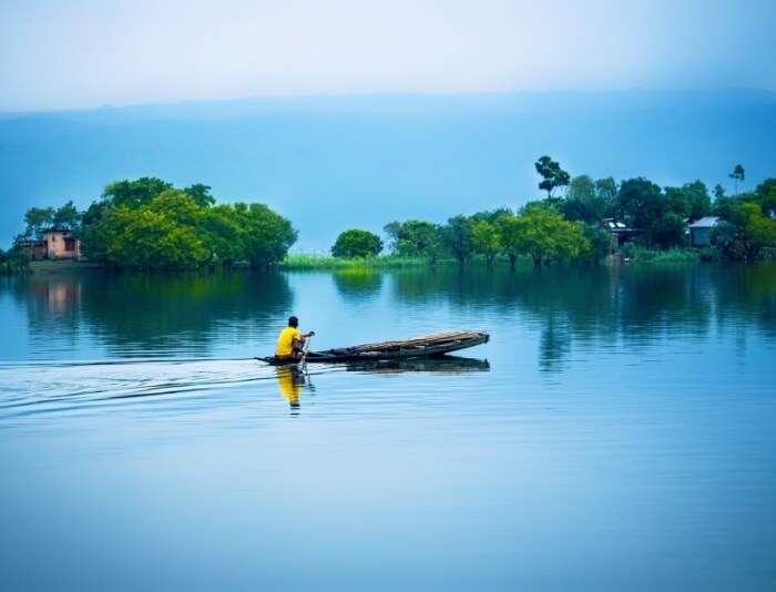
Jamuna (Brahmaputra) rivers. Except for small higher areas of jungle-covered old alluvium (rising to about 100 feet [30 meters]) in the northwest and north-center—in the Barind and the Madhupur Tract, respectively—the plain is a flat surface of recent alluvium, having a gentle slope and an elevation of generally less than 30 feet (9 meters) above sea level. In the northeast and southeast—in the Sylhet and Chittagong Hills areas, respectively—the alluvial plains give place to ridges, running mainly north-south, that form part of the mountains that separate Bangladesh from Myanmar and India. In its southern region, Bangladesh is fringed by the Sundarbans, a huge expanse of marshy deltaic forest.
The Barind is a somewhat elevated triangular wedge of land that lies between the floodplains of the upper Padma and Jamuna rivers in northwestern Bangladesh. A depression called the Bhar Basin extends southeast from the Barind for about 100 miles (160 km) to the confluence of the Padma and Jamuna. This area is inundated during the summer monsoon season, in some places to a depth exceeding 10 feet (3 meters). The drainage of the western part of the basin is centered in the vast marshy area called the Chalan wetlands, also known as Chalan Lake. The floodplains of the Jamuna, which lie north of the Bhar Basin and east of the Barind, stretch from the border with Assam in the north to the confluence of the Padma and Jamuna in the south. The area is dominated by the Jamuna, which frequently overflows its banks in devastating floods. South of the Bhar Basin is the floodplain of the lower Padma.
In north-central Bangladesh, east of the Jamuna floodplains is the Madhupur Tract. It consists of an elevated plateau on which hillocks ranging in height from 30 to 60 feet (9 to 18 meters) give contour to cultivated valleys. The Madhupur Tract contains sal trees, whose hardwood is comparable in value and utility to teak. East of the Madhupur Tract, in northeastern Bangladesh, is a region called the Northeastern Lowland. It encompasses the southern and southwestern parts of the Sylhet area (including the valley plain of the Surma River) and the northern part of the Mymensingh area and has a large number of lakes. The Sylhet Hills in the far northeast of the region consists of a number of hillocks and hills ranging in elevation from about 100 feet (30 meters) to more than 1,100 feet (330 meters).
In east-central Bangladesh, the Brahmaputra River in its old course (the Old Brahmaputra River) built up the flood basin of the Meghna River, the region that includes the low and fertile Meghna-Sitalakhya Doab (the land area between those rivers). This area is enriched by the Titas distributary, and land areas are formed and changed by the deposition of silt and sand in the riverbeds of the Meghna River, especially between Bhairab Bazar and Daudkandi. Dhaka is located in this region.
In southern Bangladesh, the Central Delta Basins include the extensive lakes in the central part of the Bengal Delta, to the south of the upper Padma. The basin’s total area is about 1,200 square miles (3,100 square km). The belt of land in southwestern Bangladesh bordering the Bay of Bengal constitutes the Immature Delta. A lowland of some 3,000 square miles (7,800 square km), the belt contains, in addition to the vast mangrove forest known as the Sundarbans, the reclaimed and cultivated lands to the north of it. The area nearest the Bay of Bengal is crisscrossed by a network of streams that flow around roughly oblong islands. The Active Delta, located north of the Central Delta Basins and east of the Immature Delta, includes the Dhaleswari-Padma Doab and the estuarine islands of varying sizes that are found from the Pusur River in the southwest to the island of Sandwip near Chittagong in the southeast.
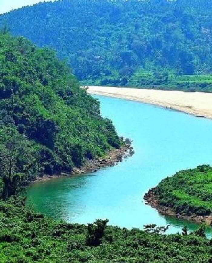
Lying to the south of the Feni River in southeastern Bangladesh is the Chittagong region, which has many hills, hillocks, valleys, and forests and is quite different in aspect from other parts of the country. The coastal plain is partly sandy and partly composed of saline clay; it extends southward from the Feni River to the town of Cox’s Bazar and varies in width from 1 to 10 miles (1.6 to 16 km). The region has a number of offshore islands and one coral reef, St. Martin’s, off the coast of Myanmar. The hilly area known as the Chittagong Hill Tracts, in the far southeast, consists of low hills of soft rocks, mainly clay and shale. The north-south ranges are generally below 2,000 feet (600 meters) in elevation.
Soils
There are three main categories of soils in Bangladesh: the old alluvial soils, the recent alluvial soils, and the hill soils, which have a base of sandstone and shale. The fertile recent alluvial soils, found mainly in flooded areas, are usually clays and loams, variously pale brown, sandy, chalky, and mica-laden. They are deficient in phosphoric acid, nitrogen, and humus but not in potash and lime. The old alluvial soils in the jungles of the Barind and Madhupur regions are dark iron-rich brown or reddish clays and loams. They are sticky during the rainy season and hard during the dry periods. The hill soils are generally permeable and can support dense forest growth.
Climate
Bangladesh has a typical monsoon climate characterized by rain-bearing winds, moderately warm temperatures, and high humidity.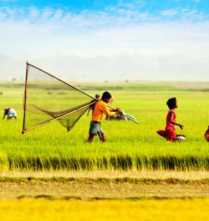
In general, maximum temperatures in the summer months, from April to September, are in the low to mid-90s F (mid-30s C). April is the warmest month in most parts. The range of high temperatures in the winter months, from November to March, is greater than in the summer months. January is the coolest month, with high temperatures averaging in the mid-to-upper 70s F (mid-20s C). The conditions of the lowest atmospheric pressure occur in Bangladesh in June and July, the storm season. Winds are mostly from the north and northeast in winter, blowing gently in northern and central areas and somewhat more aggressively near the coast. During the period of the northwesters (strong winds from the northwest) from March to May, however, wind speeds may rise to 40 miles (65 km) per hour.
Bangladesh receives heavy rainfall; except for some parts in the west, it generally exceeds 60 inches (1,500 mm) annually. Large areas of the south, southeast, north, and northeast typically receive from 80 to 100 inches (2,000 to 2,500 mm), and the northern and northwestern parts of the Sylhet area usually receive from 150 to 200 inches (3,800 to 5,000 mm). The maximum rainfall occurs during the monsoon period, from June to September or early October.
Storms of very high intensity often occur early in the summer (in April and May) and late in the monsoon season (September to October, and sometimes November). These disturbances may produce winds with speeds exceeding 100 miles (160 km) per hour, and they may generate waves in the Bay of Bengal that crest as high as 20 feet (6 meters) before crashing with tremendous force onto the coastal areas and the offshore islands, causing heavy losses of life and property. Since the early 18th century, when records were first kept, more than 1,000,000 people have been killed in such storms, some 815,000 of them in just three storms occurring in 1737, 1876, and 1970.
Plant and Animal Life
Bangladesh in general possesses a luxuriant vegetation, with villages appearing to be buried in groves of mango, jackfruit, bamboo, betel nut, coconut, and date palm. However, only a small portion of the country’s land surface is covered with forests.

Bangladesh has four different areas of vegetation. The eastern zone, consisting of parts of the Sylhet and Chittagong areas, has many low hills covered with jungles of bamboo and rattan (a species of climbing palm). The most common plant is a large type of bamboo that forms the basis of the country’s paper industry. The central zone, covering parts of the country to the north of Dhaka, contains many lakes and supports swampy vegetation; the soil of part of this zone produces the Madhupur jungles.
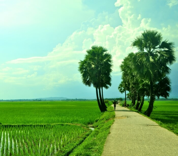
The area lying to the northwest of the Jamuna and to the southwest of the Padma forms a flat plane, the vegetation of which consists mostly of cultivated plants and orchards. Babul (Acacia arabica) is the most conspicuous tree. The southern zone along the Bay of Bengal contains the vast wetlands of the Sundarbans, with their distinctive mangrove vegetation. Several of the mangrove species are commercially valuable, including the sundari (Heritiera fomes or H. minor), for which the Sundarbans are named, and the Goran (Ceriops roxburghiana). Also valuable are the gewa or gengwa (Excoecaria agallocha) trees, which yield a softwood used for making newsprint. Among the astounding variety of flowers are water lilies (locally called shapla, the country’s national flower), marigolds, tuberoses, and Chinese hibiscus. The bokul (Mimusops elengi) is a common shrub that produces small red berries.
Bangladesh has an abundance of wildlife, including more than 100 species of mammals, although the population of some species has diminished significantly since the early 20th century. Elephants, living in herds of fewer than a dozen to nearly 100, are found in the Chittagong Hill Tracts and in the northeastern Sylhet region. Domesticated water buffaloes (Bubalis bubalis) are used for plowing and pulling carts. Of the different kinds of deer, the small muntjac (genus Muntiacus; also called barking deer) and the large sambar deer (Cervus unicolor), with its maned neck, are well known. The samba lives in the eastern jungles of the country. The medium-sized spotted deer (C. axis) was once common in many parts of the country but by the early 21st century had become limited to the Sundarbans region. The barasingha (C. duvauceli) also once inhabited the Sundarbans but became extinct in Bangladesh in the 20th century. Similarly, the hog deer (Axis procinus) has disappeared from the country.
Of the carnivores, the royal Bengal tiger (Panthera tigris tigris) is the best known. The common leopard (P. pardus) is native to the region, as is its smaller relative, 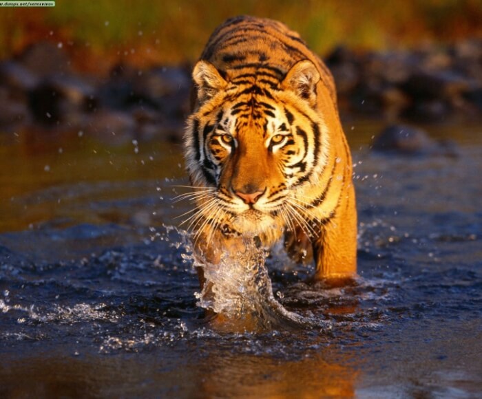
the rare clouded leopard (Neofelis nebulosa), with its dark gray oblong-spotted fur. The ferocious leopard cat (Felis bengalensis) is about the size of the domestic cat but with longer legs.Bears in Bangladesh include the sloth bear (Melursus ursinus), Asiatic black bear (Ursus thibetanus; also called Himalayan black bear), and sun bear (U. malayanus). The sloth bear is the most common. Jackals (Canis aureis), whose eerie howling at night is a familiar sound in Bangladesh, are abundant, as are various species of mongooses. The Bengal, or rhesus, monkey (Macaca mulatta) is the most common primate in the country.
Bangladesh is inhabited by hundreds of species of birds. Common house crows are found everywhere, and their cries are detested by many people of Bangladesh, who regard crows as bad omen. Bulbuls, magpie-robins, and a wide variety of warblers are also found; some are migrants that appear only in winter. Several kinds of flycatchers occur, and there are mynah birds of several kinds. Other species of birds include various game birds, parakeets, cuckoos, hawks, owls, kingfishers, hornbills, hoopoes, woodpeckers, and vultures. Among the eagles, the crested serpent eagle and the ring-tailed fishing eagle are the most common. There also are an array of water birds, including herons, storks, ducks, and wild geese.
